Habitat
HABITAT
HHAA has been involved in several endeavors over the years to assure that:
- many public lands remain wild, unroaded, and secure for big game;
- connectivity continues to exist for rare carnivores allowing genetic movement through the landscape, and for big game that must often move between seasonal habitats over distant terrain;
- public land management accommodate the life-cycle habitat needs of wildlife;
- special public land designations are honored over the decades;
- acquisitions on behalf of wildlife habitat and hunter access are conscientiously pursued
Some of these efforts and accomplishments are detailed here.
Big Game Security – the heart of HHAA advocacy
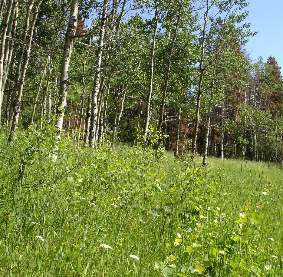
From an ethical hunter’s standpoint, wildlife habitat, in all its seasonal forms must be maintained, and where necessary, enhanced. Habitat security and fair chase hunting practices ensure that ethical hunting opportunities are the norm across our landscape – now and in the future.
Big Game Security has been a constant and pervasive concern for HHAA as we attempt to influence public land processes ranging from travel planning, forest management, and recreational developments. As humanity expands, and alters landscapes, wildlife security has precariously declined. This issue can be found at the heart of our work along the Continental Divide, in Inventoried Roadless Areas and proposed Wilderness, and the Elkhorn Mountains Wildlife Management Unit.
Scientific research that defines wildlife security and details its importance, as well as many of the factors contributing to denigration of security, is provided in documents below:
- Elkhorn Mountains Wildlife Management Unit and Hiding Cover (2019)
- Outdoor Recreation and Elk: A Colorado Case Study
- Elk herd population plummets as human use grows
- Elk vs Trails: Conflict Over Public Lands
- Effects of Roads on Elk: Implications for Management in Forested Ecosystems
- Security areas for maintaining elk on publicly accessible lands during archery and rifle hunting seasons
- Behavioral Responses of North American Elk to Recreational Activity
- Effects of Hunter Access and Habitat Security on Elk Habitat Selection
Inventories Roadless Areas
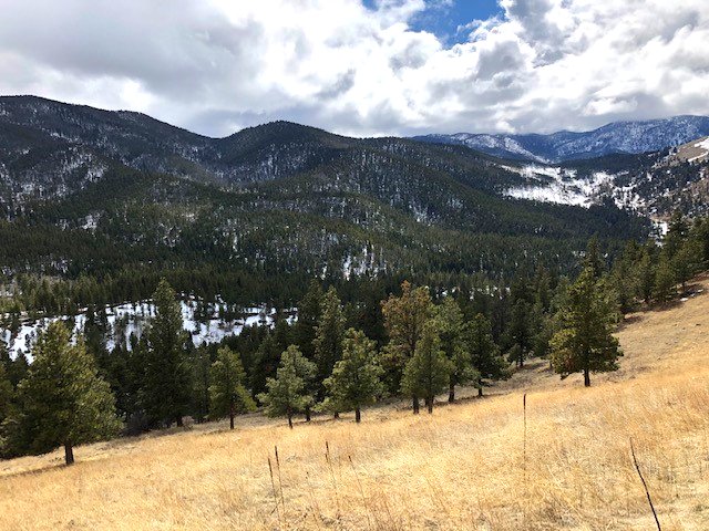
Inventoried Roadless Areas (IRAs) offer islands of reprieve for wildlife within otherwise disturbed expanses of National Forest lands surrounding the Helena area. These IRAs provide the heart of remaining wildlife habitat on our landscapes. The 2001 Roadless Rule establishes prohibitions on road construction, road reconstruction, and timber harvesting on inventoried roadless areas on National Forest System lands. IRAs have been identified administratively by the Forest Service (FS) and managed according to regulations, known as roadless rules. Whether these IRAs receive Wilderness designation or not, HHAA is working to prevent further fragmentation and to preserve their integrity for wildlife into the future.
Helena Hunters and Anglers has initiated a monitoring process to address the status of IRAs and provide a “report card” of their condition to the public as well as the Helena-Lewis and Clark National Forest. To see what is involved in monitoring the IRAs, see our Current Issues page.
Individual IRAs in the Helena area, and HHAA’s involvement in their establishment and welfare, is provided here.
- Recommendations for Inventoried Roadless Areas-2016
- MAP: Important Roadless Corridors for Wildlife
- RARE and RARE II FS-650
- Nevada Mountain IRA
- Lazyman-Black Mountain IRA
- Electric Peak IRA
- Jericho Mountain IRA
- Other IRAs
- ANACONDA HILL IRA – wildlife biologist support comment
- Divide Wilderness Eval-Sweeney2-2016
- SLEEPING GIANT-BEARTOOTH – wildlife biologist support comment
- SPECIMEN CREEK IRA – wildlife biologist support comment
- SWEENEY CREEK IRA – wildlife biologist support comment
- MAP: Wildlands of the Northern Continental Divide
Elkhorn Wildlife Management Unit
- Since 1939, when 34 elk from Yellowstone National Park released near Elkhorn Creek, the Elkhorn Mountains have captivated the imagination of wildlife enthusiasts. The mountain range’s elk population has been intensively studied and managed. Proposed for wilderness designation, the Elkhorns instead received unique characterization from Congress in 1981 when it was designated the first and only Wildlife Management Unit within the National Forest system. The Elkhorns was the first hunting district in Montana to initiate a “spike only” hunting season in 1987. Since then its mystique has expanded as bull elk are able to achieve older age than nearly all other hunting districts. Much of that history is captured in the documents here.
- Testimony before Congress Supporting Elkhorns Wilderness-July 1983
- Elkhorn Mountains Elk Project_FinalReport
- Elk Security in a Beetle-Killed Forest Lowrey_et_al-2019-JWM
- MAP: Elkhorns wilderness evaluation-2016 HLCNF
- Timeline – Elkhorn Wildlife Management Unit
- 1984 Elkhorn Mountains Wildlife Management Unit: past present and future of a Forest Service planning prototype
- Elkhorn Mountains Elk Project Final Report | 2015–2018
Wildlife Management Areas
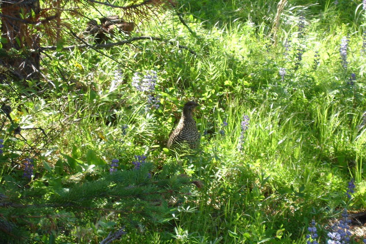
FWP’s Wildlife Management Areas (WMAs) are managed with wildlife and wildlife habitat conservation as the foremost concern. WMAs protect important wildlife habitat that might otherwise disappear from the Montana landscape. These wildlife properties provide vital habitat for a variety of wildlife including bear, bighorn sheep, birds, deer, elk, furbearers, moose, mountain goats, wolves and an array of other game and nongame species.
Five Wildlife Management Areas occur within the Helena area including:
- Lake Helena WMA – Ten miles northeast of Helena, the Lake Helena WMA provides excellent waterfowl habitat. Maps and additional information
- Canyon Creek WMA – This 3,315 acre WMA occurs 28 miles northwest of Helena and is comprised of five land purchases that occurred over more than two decades.Montana Fish and Wildlife Conservation Trust enabled purchase of two of these parcels. Maps and additional information
- Beartooth WMA – This 31,947 acres WMA is located north of Helena about 40 miles. Maps and additional information
- Canyon Ferry WMA – Thirty miles east of Helena, the 5,129 acre Canyon Ferry WMA encompasses four ponds and more than 300 islands constructed for bird habitat. In addition to being excellent waterfowl and other bird habitat, the WMA sustains white-tailed deer, moose, and habitat for a variety of other wildlife. Maps and additional information
- Spotted Dog WMA – Southwest of Helena about 40 miles is the 37,877 acre Spotted Dog WMA. It provides winter habitat for migratory populations of deer and elk. Controversy continues over management of wildlife and livestock grazing on this WMA. Maps and additional information
Wildlife Connectivity & Continental Divide
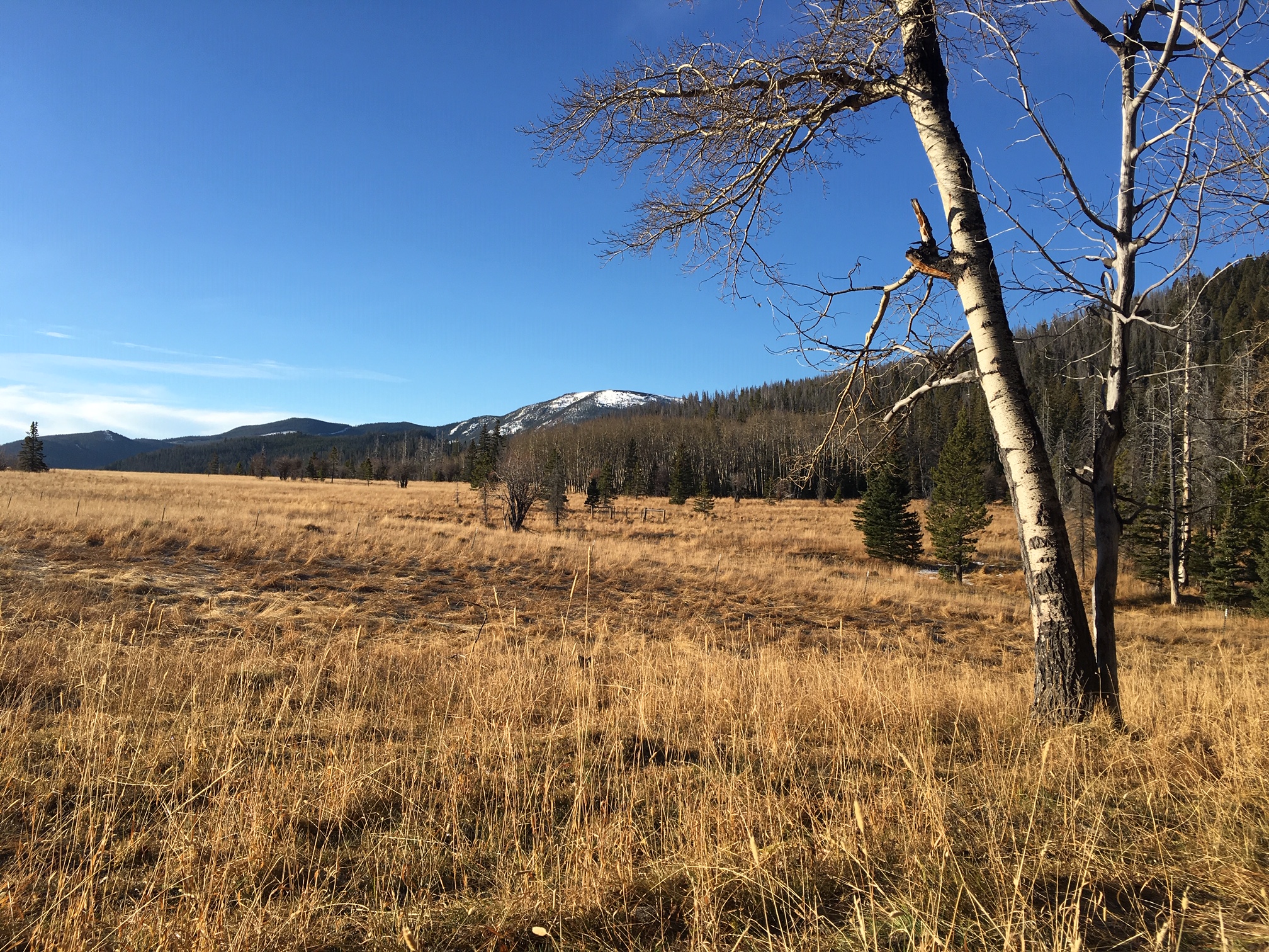
The Continental Divide is the string along which the pearls of wild country are strung. The Divide provides threads of connectivity between isolated pockets of habitat along its backbone as well as to outlying roadless or otherwise wild country such as the Elkhorns, Big Belts, and Beartooth WMA via movement corridors.
Living on the edge of the Continental Divide, we at Helena Hunters and Anglers are privileged to have observed many of North America’s most iconic animals use this natural geographic linkage corridor – those uncommon creatures at the top of the food chain that can’t be made ordinary, safe, or convenient. Grizzly bear, wolverine, mountain lions, wolves, and lynx move through the landscape using a patchwork of wildland habitat that still exists along the Continental Divide. This major thoroughfare connects distant ecosystems because wild country, often in the form of existing and proposed Wilderness and Inventoried Roadless Areas, provide the security and habitat necessary to sustain these relatively rare and magnificent creatures.
So, why is connectivity for wildlife important? Research demonstrates that activities that simultaneously decrease habitat quality and connectivity are particularly destructive to wildlife populations. Which is why Lewis and Clark County is to be commended for their foresight in adopting a “Resolution to Protect and Promote the Conservation of Wildlife Habitat and Corridors On the Continental Divide.” HHAA drafted the resolution and testified in its support, along with conservation groups and locals.
“… for what species does landscape level connectivity really matter? It matters most for organisms with extremely large home ranges relative to the habitat patch sizes, and relatively low birth rates.“
– McKelvey, Schwartz, and Ruggiero – USDA Forest Service, Rocky Mountain Research Station
A multitude of activities have and are occurring along the Continental Divide that not only diminish the Divide’s many types of wildlife habitats, but also compromise its ability to accommodate wildlife movement and genetic flow between ecosystems.
Helena Hunters and Anglers resisted development of a military training facility on the crest of MacDonald Pass. A biathlon course was slated to be constructed in this one-mile-wide portion of the Divide, which is also among the narrowest constrictions of public land in the roughly 600 mile stretch of the Divide from the Canadian border to the Yellowstone ecosystem. HHAA, along with eight other appellants, filed an administrative appeal to the Forest Service decision to allow the project to proceed. Because the Helena National Forest denied the appeal, a complaint was filed in federal court on behalf of four conservation organizations, including HHAA. On July 29, 2009, a federal court judge put a halt to construction of the biathlon course near MacDonald Pass west of Helena.
Through the public participation process, HHAA has attempted to influence dozens of public land projects – all of which contribute to landscape fragmentation. Select commentary on a variety of projects including timber sales, highway construction, mining, and recreational impacts, to cite just a few, are provided for an historical record, that in the future may once again be useful – because history tends to repeat itself.
For decades, HHAA has been advocating at both the project and landscape level for a Continental Divide that can serve the needs of wildlife for movement, genetic linkage, and habitat. We will continue to do so, and we would welcome your participation.